


Best Bushwalks in Parramatta: 11 Scenic Trails to Explore
Wander through towering blue gums, sandstone gullies and some of Western Sydney's best-kept natural secrets.
Behind the Parramatta's city bustle lies a hidden network of rainforest gullies, cascading waterfalls and ancient stories etched into the bush.
These tracks lead you past sandstone bridges and whispering whipbirds, through towering gums and deep into places once walked by warriors and early settlers. Some even lead to lakes you can swim in come summer.
Ready to breathe deeper and see another side of Parramatta? Here's 11 bushwalks locals love and visitors are only just beginning to discover.
1. Lake Circuit Walk – Lake Parramatta
Length: 4.3km loop | Approximate Time: 2 Hours | Entry via Lackey St, North Parramatta
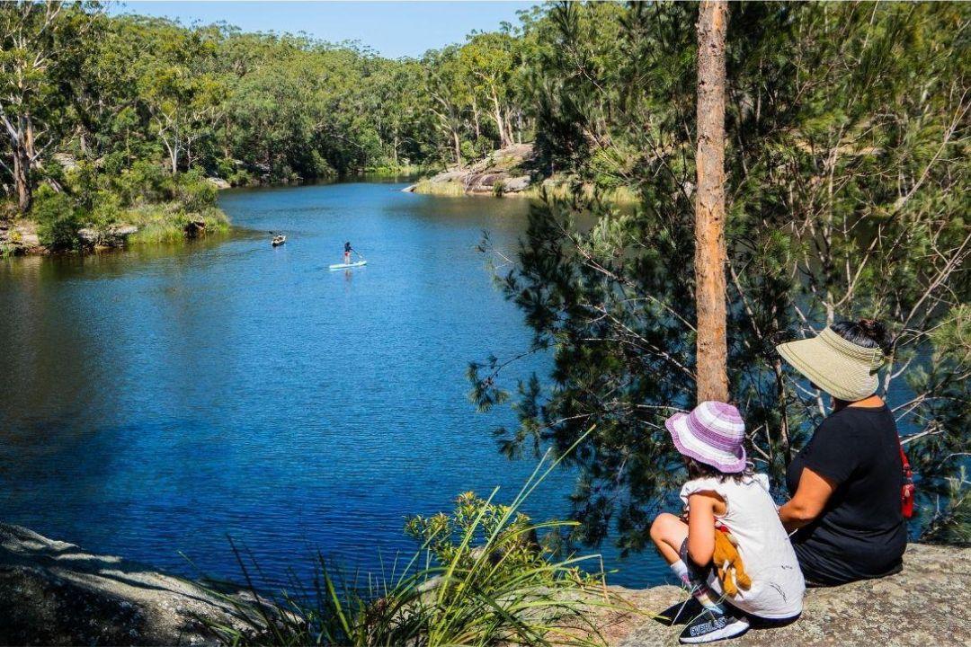
Tucked away just 2km from Parramatta CBD, Lake Parramatta Reserve is a natural oasis perfect for a weekend bushwalk. The 4.3km circuit loops around a heritage-listed dam through Sydney Sandstone Gully Forest, home to echidnas, sugar gliders and more. It's peaceful, packed with wildflowers, and a hit with birdwatchers.
In the warmer months, bring your swimmers as Lake Parramatta is one of the few swimmable lakes in Greater Sydney.
2. Waterfall Walk at Hunts Creek Reserve
Length: 3.4km loop | Approximate Time: 2 Hours | Entry via Parkland Road, Carlingford
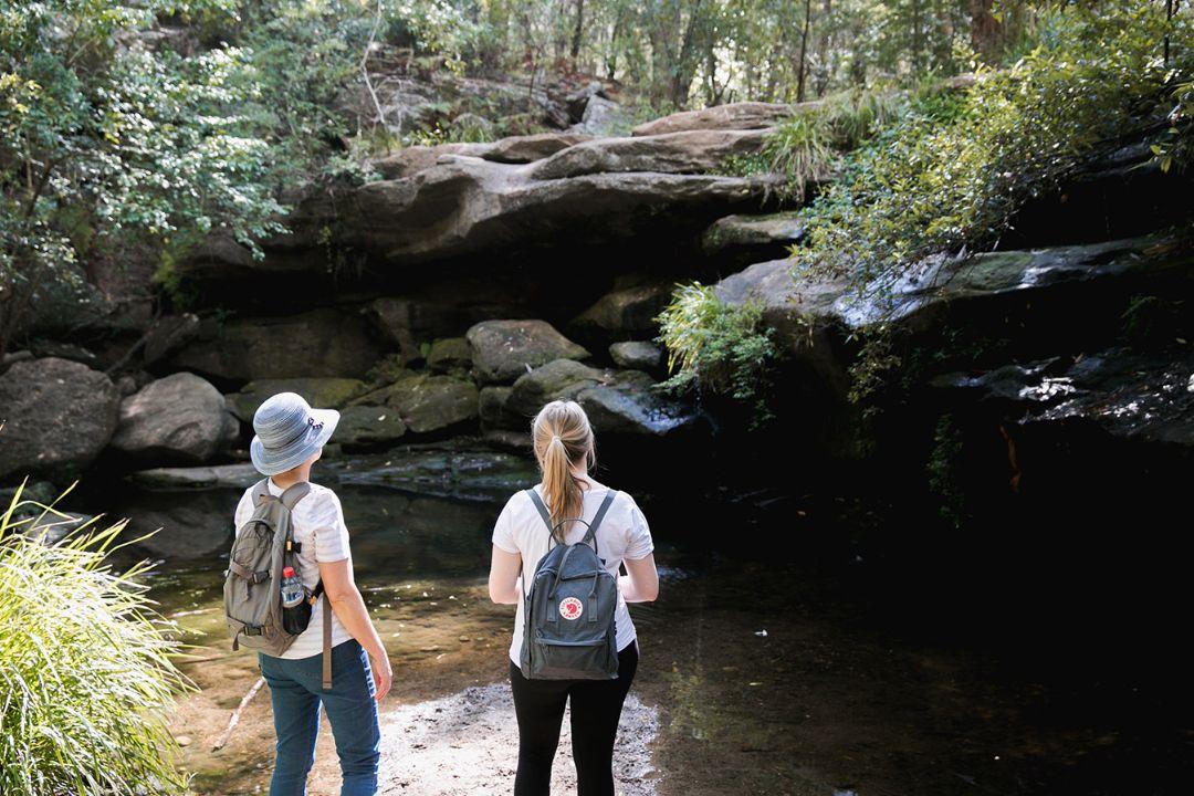
Nestled into the quiet suburb of Carlingford, this short bushwalk is all about the payoff. The trail leads directly to Balaka Falls, a stunning sandstone-framed cascade that really comes alive after rain. It’s an easy stroll, with native birdsong and tree ferns lining the way.
Perfect for families, photographers or anyone chasing a little serenity close to home.
Fun Fact: Hunts Creek was once described as the cleanest waters of the area by the early European settlers who used the water for making illegal peach cider.
3. North Rocks Dam (Northmead Dam) – Bidjigal Reserve
Length: 2.2km return | Approximate Time: 1 hour | Entry via: Loyalty Road, North Rocks or Ventura Road, Northmead
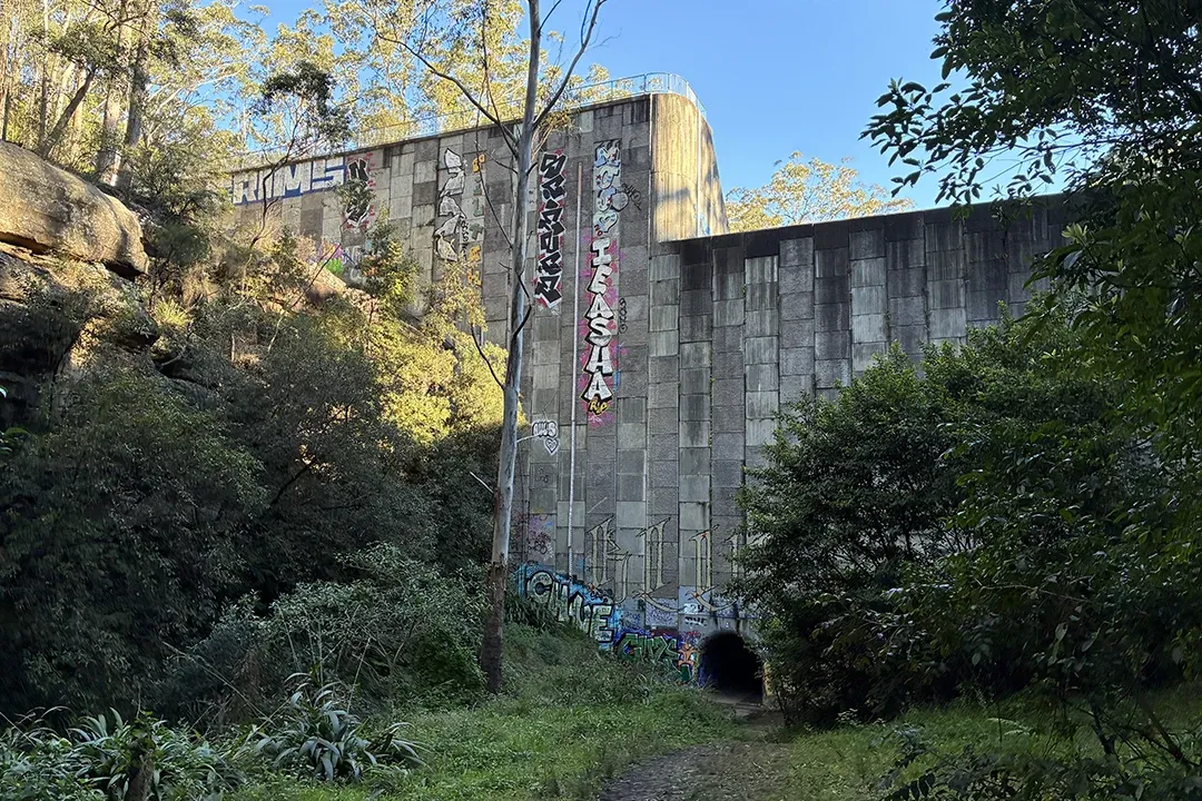
Hidden among the bushland of Bidjigal Reserve, North Rocks Dam is one of Parramatta's most surprising discoveries. The track follows the creek through a peaceful corridor of native forest before revealing the striking graffiti-covered dam wall, a colourful landmark that feels worlds away from the city.
Along the way, you'll cross small bridges, hear birds calling from the canopy above and spot lizards darting through the undergrowth. Shaded by towering gums and lined with sandstone outcrops, this easy bushwalk is ideal for families, weekend explorers and anyone looking to uncover one of Parramatta's lesser-known natural treasures.
Flood Safety: North Rocks Dam is a flood-retarding basin designed to manage stormwater during periods of heavy rainfall. Check weather conditions before visiting and avoid the area during or immediately after significant rain, as water levels and creek crossings can change quickly.
4. Water Dragon Way – Winston Hills, Quarry Branch Creek
Length: 2.3km | Approximate Time: 1 hour 40 minutes | Starts at Moxhams Road, Northmead
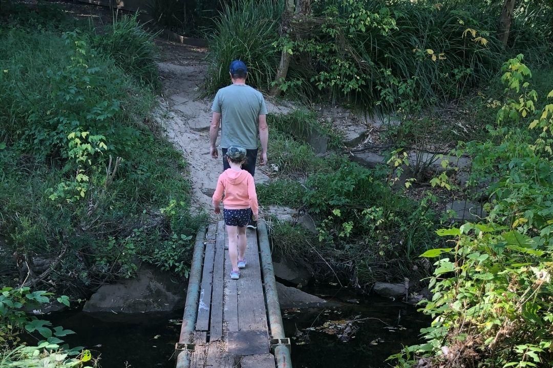
A hidden gem that winds through beautiful bushland and past historic convict-era sandstone quarries. This track gets its name from the native water dragons often spotted sunbaking near the creek. It’s a steady incline from south to north, but the shady canopy and natural wetlands make it worth the effort.
Keep your eyes peeled for native orchids and smooth-barked apple trees.
5. Vineyard Creek Walking Track – Oatlands to Telopea
Length: 2.5km return | Approximate Time: 2 hours | Entry via Ventura Rd or Range Rd, Northmead
Winding through the leafy suburbs of Oatlands and Telopea, this tranquil track winds through rainforest pockets and remnant bushland.
The walk follows the path of Vineyard Creek, offering peaceful views, bird calls, and shaded spots to slow down. It’s best explored in dry weather, as parts of the trail can become muddy after rain.
This area was once known as the “Bird Sanctuary” and holds deep cultural significance for the Darug Burramatta people. Today, it remains a hidden escape filled with natural and historical charm.
6. Settlers Walk – Toongabbie to Northmead
Length: 3km return | Approximate Time: 1.5 Hour | Enter near Toongabbie station
Step back in time on this historic trail, which forms part of the greater Toongabbie Creek Walk. Starting near Toongabbie Station, it follows the path of early settlement through Cumberland Riverflat Forest and red gum-lined creek banks.
Learn about the Third Settlement of Australia as you walk, including convict sites and original farmland from the late 1700s.
7. Terry's Creek Walk – Epping
Length: 2km return | Approximate Time: 1 hour | Entry via: Epping Aquatic Centre car park
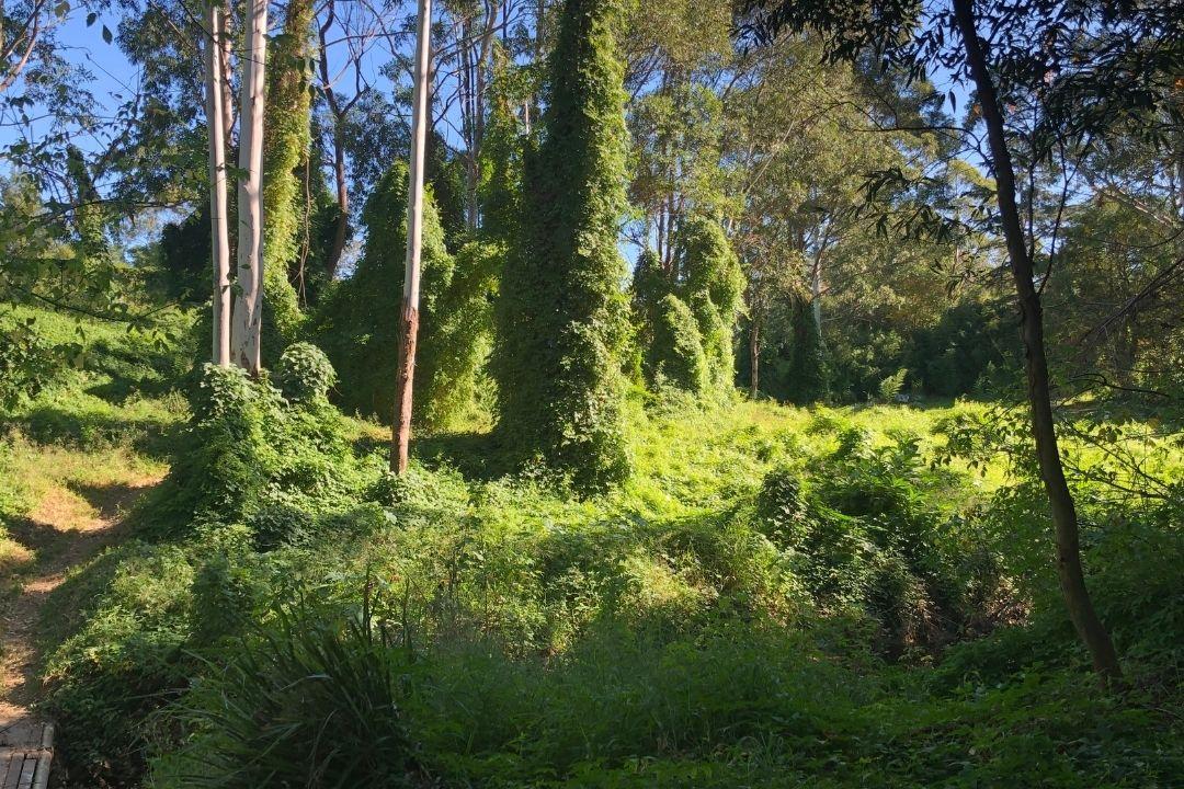
Step beneath a canopy of towering Sydney Blue Gums and discover one of the region's most tranquil bushwalks. Terry's Creek Walk winds through pockets of rainforest-like vegetation, crossing gentle creeks and passing interpretive signage that shares stories of the area's rich natural and cultural heritage.
Keep an eye out for satin bowerbirds, whose elaborate bowers are decorated with flashes of blue collected from the surrounding landscape. A small waterfall provides the perfect reward at the end of the walk, making this track a favourite for families, budding nature photographers and curious young explorers alike.
8. Murri-Yanna Track – Darling Mills Creek Reserve
Length: 3.7km | Approximate Time: 3 hour | Entry via Ventura Rd or Range Rd, Northmead
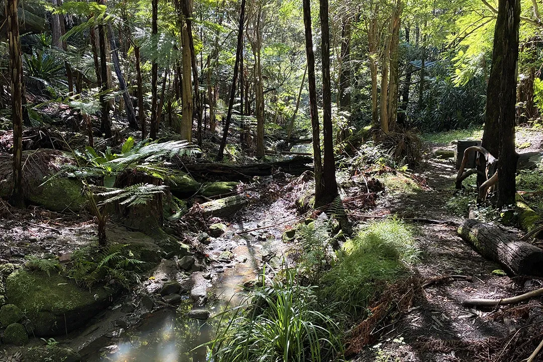
One of the most diverse bushwalks in the region, the Murri-Yanna Track winds through deep sandstone gullies, lush rainforest pockets and the historic Darling Mills Creek. You’ll pass a former rifle range, convict-era milling sites and native forest that’s teeming with birdlife.
The surface is a mixture of uneven earth track with rock and wooden steps.
Fun Fact: “Murri-Yanna” means walking track in the Darug language.
9. Pemulwuy Loop – Northmead, Winston Hills and Old Toongabbie
Length: 5.4km | Approximate Time: 2 hours 25 minutes | Starts at Moxhams Road, Northmead
This rich, rewarding loop is named after Pemulwuy, the courageous Darug warrior who led resistance against early European settlers. The trail weaves through three forest types, across creeks and escarpments. Along the way, you’ll see towering blue gums, river flats, and possibly a wallaby or two.
It's a top choice for walkers who love local history and nature side by side.
The track surface is natural earth plus rock and wooden stairs, so this walk is not well-suited to wetter days.
10. Pioneer Walk – Carlingford
Length: 2km | Approximate Time: 1 hour | Entry via Carlingford Oval or Ray Park
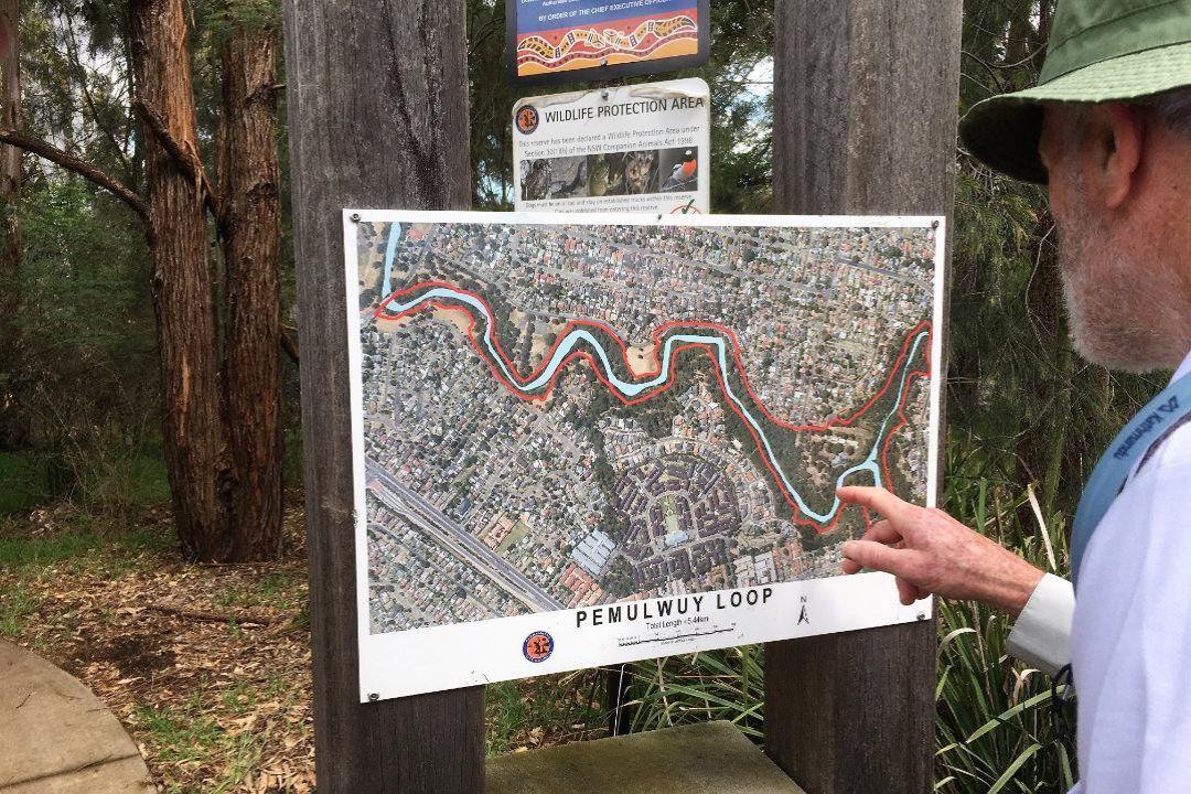
Short but sweet, Pioneer Walk offers a peaceful trail through regenerated bushland along Devlins Creek. Once logged and farmed, the area is now home to Blue Gum High Forest and cared for by passionate local volunteers.
History meets nature here as farmers once hauled produce from these lands to the old Carlingford train siding, still visible today.
11. The Ponds Walk – Carlingford to Rydalmere
Length: 7.2km return | Approximate Time: 5 hour 20 minutes | Start at Eric Mobbs Lookout, Carlingford
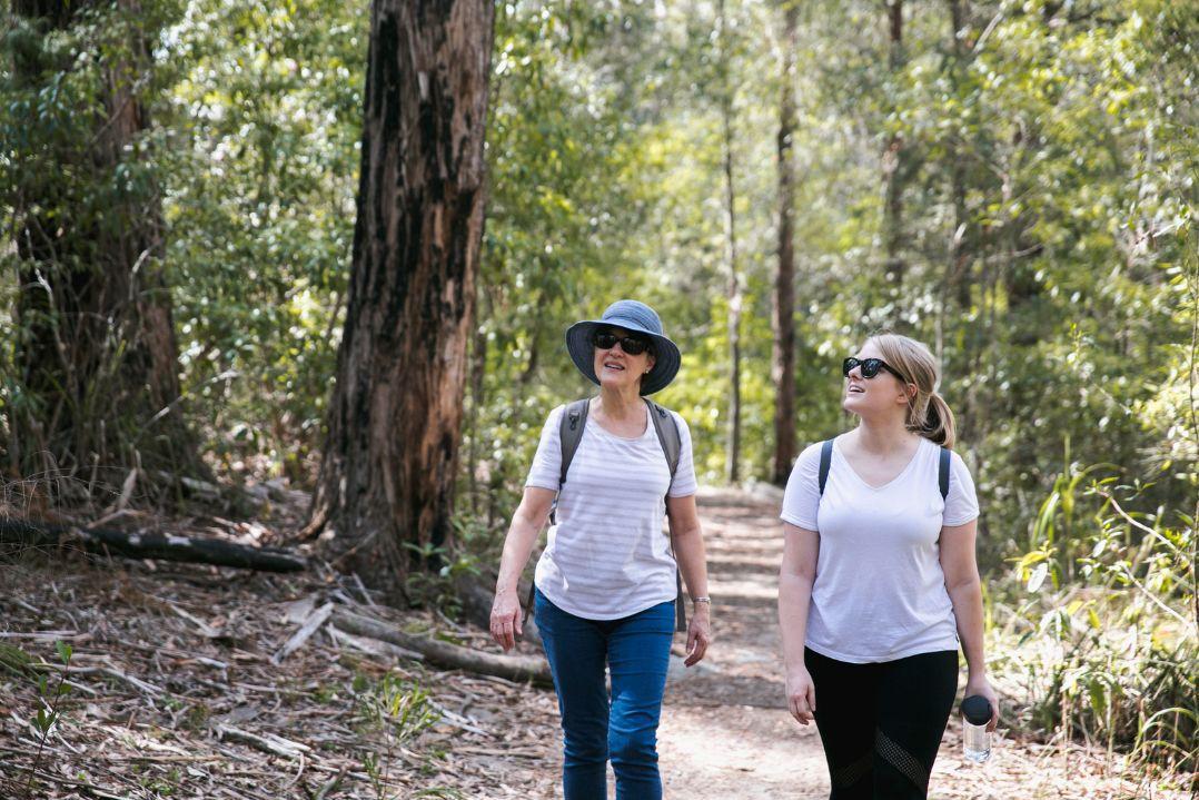
Flowing through some of Parramatta’s most diverse bushland, The Ponds Walk begins at Eric Mobbs Lookout in Carlingford and winds its way down to Jim Crowgey Reserve in Rydalmere. Expect creek crossings, shaded glades and changing landscapes as you pass through Blue Gum High Forest into Sydney Turpentine-Ironbark and River-flat Forest.
This trail follows a natural amphitheatre once farmed by early settlers and possibly part of Burramattagal land. Keep an eye out for birds, sandstone outcrops and remnants of the region’s colonial past.
Plan Your Walk in Parramatta
Before heading out:
- Wear comfortable walking shoes and sun protection.
- Bring plenty of water (and swimmers if you're heading to Lake Parramatta).
- Check weather conditions before you leave, especially for unsealed tracks.
- Tell someone where you're going and when you plan to return.
- Stay on marked trails to help protect native plants and wildlife.
- Take your rubbish with you and leave no trace.
- Download maps or directions before you set off, as mobile reception can vary in some bushland areas.
- Never enter flooded tracks, creeks or waterways.
Please remember: Bushwalking tracks can be affected by weather, maintenance works or temporary closures. Always check conditions before your visit.
Parramatta is more than a city. It's a place where waterfalls tumble through sandstone gullies, blue gums tower overhead and local stories unfold around every bend in the track.
Whether you're chasing a quick escape into nature or a full-day adventure, there's a bushwalk waiting to be discovered.


