


Smart City and Innovation
Smart cities are cities which use data, technology, novel ideas, and collaboration to solve problems. The City of Parramatta is leveraging innovation to meet the challenges we face including climate change, population growth, and health outbreaks such as the COVID-19 pandemic.
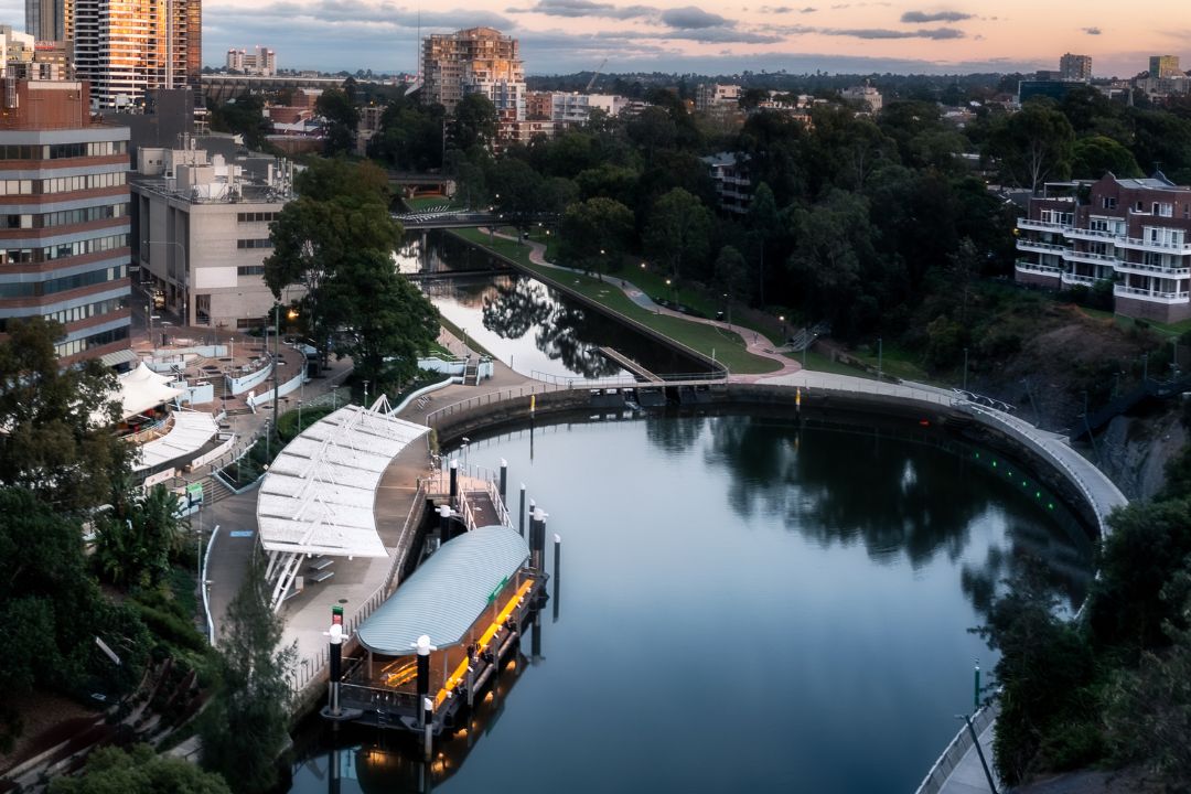
In August 2015, Parramatta became the first local government in New South Wales to adopt a Smart City Masterplan to better position the City to meet the challenges of the future and leverage the opportunities of data, information, and technology to improve peoples’ lived experience of the City.
In 2023, Council is refreshing its smart city position with a 10-year vision through the Smart City and Innovation Strategy.
The Program
Council will respond to the big issues, challenges, and opportunities to support Parramatta to become a centre of innovation and a place that fosters the exchange of ideas. We will work across six priority areas to build on our existing smart city success:
- Becoming a data-led and innovative organisation
- Improving our climate adaptation and circular economy
- Implementing urban technology that will transform our public spaces
- Supporting a more intelligent and connection transport system
- Nurturing a thriving innovation ecosystem across our region
- Offering creative experiences for our communities

What is a Smart City?
Smart cities are cities which use data, technology, novel ideas, and collaboration to solve problems. The world is facing unprecedented challenges including climate change, population growth, and health outbreaks such as the COVID-19 pandemic. In our changing world, it is vital that our approach to planning and managing our City is efficient, effective and adaptable.
Our vision for Parramatta is a thriving hub where people connect, collaborate, and exchange ideas. Building on the long-term vision established in our Community Strategic Plan 2018-2038 (CSP) and through consultation with the community and stakeholders, the draft Smart City and Innovation Strategy outlines our plan to make this vision a reality.
Floodsmart
The City of Parramatta is prone to flash floods and FloodSmart Parramatta has been created to help protect homes and businesses that could be affected in a flood. It aims to provide communities, individuals, and business owners with vital information to understand flood risk in their area. Knowing if you are at risk, how to prepare and what to do in a flood will help keep the community safe.
Flood risk is predicted by using real time rainfall and water level data measured by sensors along the river, as well as the local weather forecasts.